 vesseltracker.com
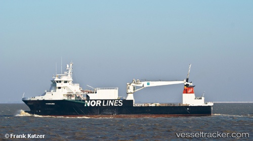
Rotsund
Current StatusLive Vessel Rotsund Analytics (details, animations, etc.)
Latest AIS update:
Current position: 57.27424° N, 5.75305° W (Near Kyleakin)
This page shows the vessel’s latest location, recent movement, and operational context from ShipInfo and TOPOS data.
Open the map below to view live position, track history, probable destinations, and nearby traffic.
The current position of vessel Rotsund is 57.27424 lat / -5.75305 lng. Updated: 2026-03-25 05:21:14 UTCNearest reference points:
- Near KYLE OF LOCHALSH
- Near Fishnish, Isle of Mull
- Near CRAIGNURE PIER
Details:
Last coordinates of the vessel:
2026-03-24 23:54:09 UTC, 57.27430, -5.75303, course: 1, speed: 02026-03-25 02:27:11 UTC, 57.27431, -5.75306, course: 0, speed: 0
2026-03-25 03:51:19 UTC, 57.27433, -5.75310, course: 1, speed: 0
2026-03-25 05:21:14 UTC, 57.27424, -5.75305, course: 1, speed: 0