 vesseltracker.com
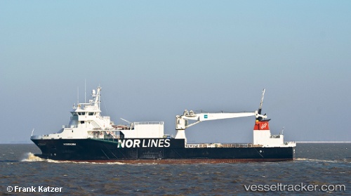
Find the position of the vessel Rotsund on the map. The latter are known coordinates and path.
marine traffic ship tracker show on live map
The current position of vessel Rotsund is 63.5333 lat / -20.4233 lng. Updated: 2024-05-03 18:02:20 UTCPort of registry:
Tromsø (city in Tromsø municipality, Norway)Speed:
11 knotPayload_mass:
2713 tonneGross tonnage:
2999Service entry:
2006-01-01T00:00:00ZDetails:
Last coordinates of the vessel:
UTC, 63.2583, -18.8283, course: -1, speed: 11UTC, 63.2583, -18.8283, course: -1, speed: 11
UTC, 63.3583, -19.3483, course: -1, speed: 11
2024-05-03 18:02:20 UTC, 63.5333, -20.4233, course: -1, speed: 11