 vesseltracker.com
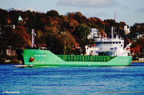
Vessel Feed Rogaland IMO: 9291729, MMSI: 257071710 Multi Purpose Carrier
UTC, 53.45535, 6.83066, course: 284, speed: 0
UTC, 53.45536, 6.83067, course: 284, speed: 0
2026-03-15 21:24:34 UTC, 53.45535, 6.83067, course: 284, speed: 0
Live Vessel Feed Rogaland Analytics (details, animations, etc.)
Live AIS position: UTC. Near EEMSHAVEN), updated 2026-03-15 21:24:34 UTC.Find the position of the vessel Feed Rogaland on the map. The latter are known coordinates and path.
marine traffic ship tracker show on live map
The current position of vessel Feed Rogaland is 53.45535 lat / 6.83067 lng. Updated: 2026-03-15 21:24:34 UTCCurrently sailing under the flag of Norway
Feed Rogaland built in 2004 year
Deadweight:
4485 tDetails:
Last coordinates of the vessel:
UTC, 53.45535, 6.83067, course: 283, speed: 0UTC, 53.45535, 6.83066, course: 284, speed: 0
UTC, 53.45536, 6.83067, course: 284, speed: 0
2026-03-15 21:24:34 UTC, 53.45535, 6.83067, course: 284, speed: 0