 vesseltracker.com
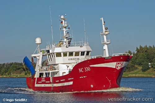
Vessel Hellevig I IMO: 9222405, MMSI: 257176000 Fishing Vessel
UTC, 58.48820, 5.69490, course: 313, speed: 8
UTC, 58.69604, 5.44230, course: 339, speed: 8.4
2026-01-15 02:55:30 UTC, 59.04651, 5.33809, course: 2, speed: 9.2
Live AIS position:
UTC. Near Kvitsøy),
updated 2026-01-15 02:55:30 UTC.
Find the position of the vessel Hellevig I on the map. The latter are known coordinates and path.
marine traffic ship tracker show on live map
The current position of vessel Hellevig I is 59.04651 lat / 5.33809 lng. Updated: 2026-01-15 02:55:30 UTCCurrently sailing under the flag of Norway
Hellevig I built in 2001 year
Details:
Last coordinates of the vessel:
UTC, 58.44424, 5.99009, course: 7, speed: 0UTC, 58.48820, 5.69490, course: 313, speed: 8
UTC, 58.69604, 5.44230, course: 339, speed: 8.4
2026-01-15 02:55:30 UTC, 59.04651, 5.33809, course: 2, speed: 9.2