 vesseltracker.com
Live AIS position:
60.13167° N, 1.27333° W UTC. Near Hamnavoe, Burra Isle),
updated 2025-11-21 05:29:29 UTC.
Find the position of the vessel Froystrand on the map. The latter are known coordinates and path.
marine traffic ship tracker show on live map
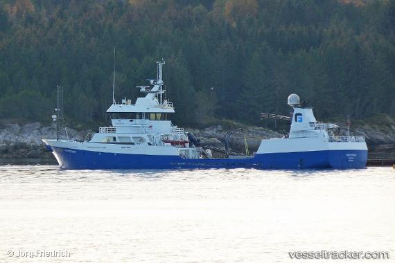
The current position of vessel Froystrand is 60.13167 lat / -1.27333 lng. Updated: 2025-11-21 05:29:29 UTCCurrently sailing under the flag of Norway
Froystrand built in 2009 year
Deadweight:
1400 tDetails:
Last coordinates of the vessel:
UTC, 60.13167, -1.27333, course: -1, speed: 0UTC, 60.13167, -1.27333, course: -1, speed: 0
UTC, 60.13167, -1.27333, course: -1, speed: 0
2025-11-21 05:29:29 UTC, 60.13167, -1.27333, course: -1, speed: 0