 vesseltracker.com
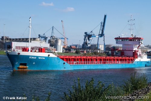
Vessel Geir Tore H IMO: 9390393, MMSI: 257301000 Multi Purpose Carrier
UTC, 68.79577, 16.54485, course: -1, speed: 0
UTC, 68.79580, 16.54480, course: -1, speed: 0
2026-01-31 05:30:15 UTC, 68.79584, 16.54491, course: -1, speed: 0
Live AIS position:
UTC. Near Harstad),
updated 2026-01-31 05:30:15 UTC.
Find the position of the vessel Geir Tore H on the map. The latter are known coordinates and path.
marine traffic ship tracker show on live map
The current position of vessel Geir Tore H is 68.79584 lat / 16.54491 lng. Updated: 2026-01-31 05:30:15 UTCCurrently sailing under the flag of Norway
Geir Tore H built in 2010 year
Deadweight:
2803 tDetails:
Last coordinates of the vessel:
UTC, 68.79576, 16.54490, course: -1, speed: 0UTC, 68.79577, 16.54485, course: -1, speed: 0
UTC, 68.79580, 16.54480, course: -1, speed: 0
2026-01-31 05:30:15 UTC, 68.79584, 16.54491, course: -1, speed: 0