 vesseltracker.com
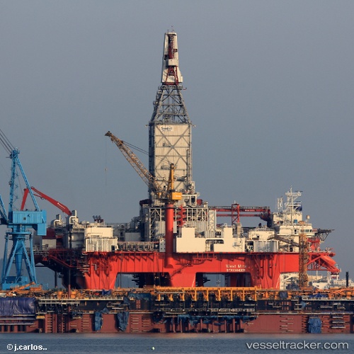
Vessel West Mira IMO: 9662344, MMSI: 257331800 Drilling Ship
UTC, -22.86762, 14.46247, course: 79, speed: 0
UTC, -22.86772, 14.46231, course: 80, speed: 0
2026-02-01 10:06:50 UTC, -22.86745, 14.46250, course: 79, speed: 0
Live AIS position:
UTC. Near WALVIS BAY),
updated 2026-02-01 10:06:50 UTC.
Find the position of the vessel West Mira on the map. The latter are known coordinates and path.
marine traffic ship tracker show on live map
The current position of vessel West Mira is -22.86745 lat / 14.46250 lng. Updated: 2026-02-01 10:06:50 UTCCurrently sailing under the flag of Norway
Details:
Last coordinates of the vessel:
UTC, -22.86747, 14.46209, course: 79, speed: 0UTC, -22.86762, 14.46247, course: 79, speed: 0
UTC, -22.86772, 14.46231, course: 80, speed: 0
2026-02-01 10:06:50 UTC, -22.86745, 14.46250, course: 79, speed: 0