 vesseltracker.com
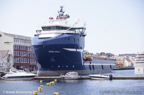
Vessel Troms Sirius IMO: 9628386, MMSI: 257825000 Offshore Tug Supply Ship
UTC, 59.18955, 3.04535, course: 101, speed: 10.5
UTC, 59.14895, 3.55145, course: 102, speed: 10.7
2026-01-17 18:27:14 UTC, 59.13889, 3.66362, course: 100, speed: 10.9
Live AIS position:
UTC. 36 nm E of Grane),
updated 2026-01-17 18:27:14 UTC.
Find the position of the vessel Troms Sirius on the map. The latter are known coordinates and path.
marine traffic ship tracker show on live map
The current position of vessel Troms Sirius is 59.13889 lat / 3.66362 lng. Updated: 2026-01-17 18:27:14 UTCCurrently sailing under the flag of Norway
Troms Sirius built in 2012 year
Deadweight:
4868 tDetails:
Last coordinates of the vessel:
UTC, 59.19667, 2.94500, course: -1, speed: 10UTC, 59.18955, 3.04535, course: 101, speed: 10.5
UTC, 59.14895, 3.55145, course: 102, speed: 10.7
2026-01-17 18:27:14 UTC, 59.13889, 3.66362, course: 100, speed: 10.9