 vesseltracker.com
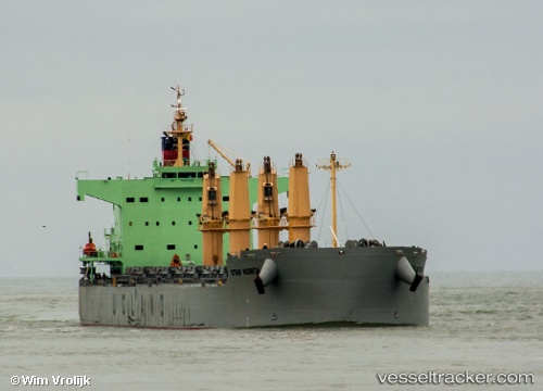
Vessel Star Norita IMO: 9583134, MMSI: 257854000 Bulk Carrier
UTC, 49.33329, -123.21498, course: 246, speed: 0
UTC, 49.33351, -123.21608, course: 220, speed: 0.1
2026-01-15 21:26:19 UTC, 49.33373, -123.21862, course: 152, speed: 0
Live AIS position:
UTC. Near Burrard Inlet),
updated 2026-01-15 21:26:19 UTC.
Find the position of the vessel Star Norita on the map. The latter are known coordinates and path.
marine traffic ship tracker show on live map
The current position of vessel Star Norita is 49.33373 lat / -123.21862 lng. Updated: 2026-01-15 21:26:19 UTCCurrently sailing under the flag of Norway
Star Norita built in 2012 year
Deadweight:
58097 tDetails:
Last coordinates of the vessel:
UTC, 49.33375, -123.21716, course: 201, speed: 0.2UTC, 49.33329, -123.21498, course: 246, speed: 0
UTC, 49.33351, -123.21608, course: 220, speed: 0.1
2026-01-15 21:26:19 UTC, 49.33373, -123.21862, course: 152, speed: 0