 vesseltracker.com
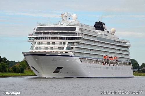
Vessel Viking Star IMO: 9650418, MMSI: 257903000 Cruise Ship
UTC, 35.69333, 26.50333, course: -1, speed: 12
UTC, 35.88333, 26.92249, course: 48, speed: 12.7
2026-01-30 23:31:38 UTC, 36.14667, 27.25500, course: -1, speed: 13
Live AIS position:
UTC. 17 nm S of Tilos),
updated 2026-01-30 23:31:38 UTC.
Find the position of the vessel Viking Star on the map. The latter are known coordinates and path.
marine traffic ship tracker show on live map
The current position of vessel Viking Star is 36.14667 lat / 27.25500 lng. Updated: 2026-01-30 23:31:38 UTCCurrently sailing under the flag of Norway
Details:
Last coordinates of the vessel:
UTC, 35.54601, 25.95186, course: 69, speed: 12.7UTC, 35.69333, 26.50333, course: -1, speed: 12
UTC, 35.88333, 26.92249, course: 48, speed: 12.7
2026-01-30 23:31:38 UTC, 36.14667, 27.25500, course: -1, speed: 13