 vesseltracker.com
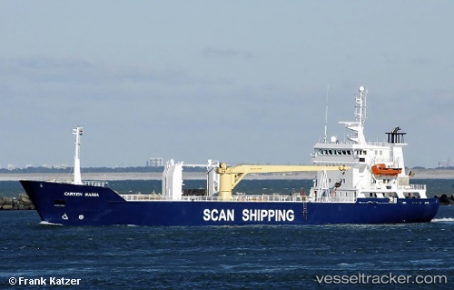
Find the position of the vessel 258007280 on the map. The latter are known coordinates and path.
marine traffic ship tracker show on live map
The current position of vessel 258007280 is 59.33879 lat / 5.28683 lng. Updated: 2025-11-17 17:29:54 UTCDetails:
Last coordinates of the vessel:
UTC, 59.33882, 5.28681, course: 355, speed: 0UTC, 59.33881, 5.28684, course: 355, speed: 0
UTC, 59.33880, 5.28683, course: 355, speed: 0
2025-11-17 17:29:54 UTC, 59.33879, 5.28683, course: 355, speed: 0