 vesseltracker.com
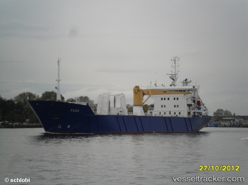
 CARTEN ELINA
Current Status
Where is the vessel?
CARTEN ELINA is currently in Near Husnes, based on AIS data received about 1h ago.
Latest AIS update:
Current position: 59.87638° N, 5.76960° E (Near Husnes)
Average speed (last 7 days): Loading…
Average speed (last 30 days): Loading…
Vessel profile: CARTEN ELINA is a Pallet Carrier with dimensions m x m.
This page combines live AIS, route history, probable destination signals, nearby traffic, and port activity for practical vessel monitoring.
The current position of vessel CARTEN ELINA is 59.87638 lat / 5.76960 lng. Updated: 2026-03-25 09:25:19 UTCNearest reference points:
- Near Halsnøy
- Near ROSENDAL
- Near Valevåg
Currently sailing under the flag of Norway ![]()
Details:
Live Vessel CARTEN ELINA Analytics (details, animations, etc.)
Recent AIS points (UTC):
2026-03-25 03:29:53 UTC · 59.82339, 5.55895 · SOG 5.2 kn · COG 159°2026-03-25 06:16:18 UTC · 59.87637, 5.76960 · SOG 0 kn · COG 20°
2026-03-25 07:43:19 UTC · 59.87632, 5.76967 · SOG 0 kn · COG 21°
2026-03-25 09:25:19 UTC · 59.87638, 5.76960 · SOG 0 kn · COG 21°