 vesseltracker.com
Live AIS position:
31.58561° N, 121.28553° E UTC. Near Taicang),
updated 2025-11-22 19:20:51 UTC.
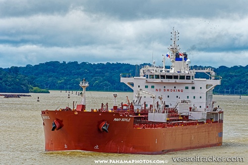
Find the position of the vessel Mari Boyle on the map. The latter are known coordinates and path.
marine traffic ship tracker show on live map
The current position of vessel Mari Boyle is 31.58561 lat / 121.28553 lng. Updated: 2025-11-22 19:20:51 UTCDetails:
Last coordinates of the vessel:
UTC, 31.58561, 121.28550, course: 324, speed: 0UTC, 31.58561, 121.28555, course: 324, speed: 0
UTC, 31.58564, 121.28552, course: 324, speed: 0
2025-11-22 19:20:51 UTC, 31.58561, 121.28553, course: 324, speed: 0