 vesseltracker.com
Find the position of the vessel Andrea L on the map. The latter are known coordinates and path.
marine traffic ship tracker show on live map
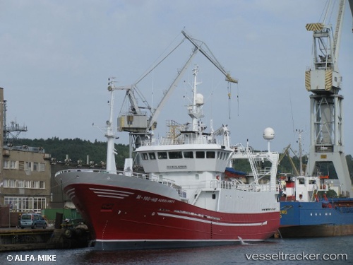
The current position of vessel Andrea L is 59.34169 lat / 6.21968 lng. Updated: 2025-10-27 10:57:29 UTCCurrently sailing under the flag of Norway
Andrea L built in 1996 year
Deadweight:
400 tDetails:
Last coordinates of the vessel:
UTC, 59.34170, 6.21964, course: 240, speed: 0UTC, 59.34169, 6.21966, course: 240, speed: 0
UTC, 59.34167, 6.21833, course: -1, speed: 0
2025-10-27 10:57:29 UTC, 59.34169, 6.21968, course: 239, speed: 0