 vesseltracker.com
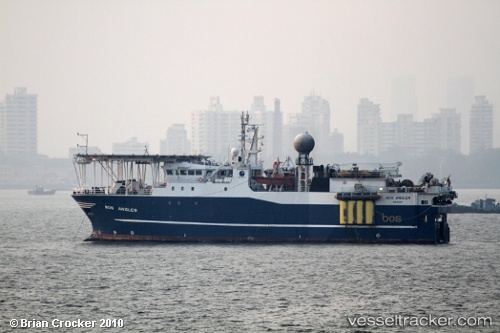
Vessel Artemis Angler IMO: 9181467, MMSI: 259959000 Research Vessel
UTC, -22.85200, -43.13678, course: 212, speed: 0
UTC, -22.85198, -43.13664, course: 231, speed: 0.3
2026-02-03 05:49:00 UTC, -22.85247, -43.13764, course: 139, speed: 0
Live AIS position:
UTC. Near NITEROI),
updated 2026-02-03 05:49:00 UTC.
Find the position of the vessel Artemis Angler on the map. The latter are known coordinates and path.
marine traffic ship tracker show on live map
The current position of vessel Artemis Angler is -22.85247 lat / -43.13764 lng. Updated: 2026-02-03 05:49:00 UTCDetails:
Last coordinates of the vessel:
UTC, -22.85345, -43.13743, course: 16, speed: 0UTC, -22.85200, -43.13678, course: 212, speed: 0
UTC, -22.85198, -43.13664, course: 231, speed: 0.3
2026-02-03 05:49:00 UTC, -22.85247, -43.13764, course: 139, speed: 0