 vesseltracker.com
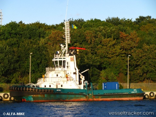
Vessel Akul IMO: 9279317, MMSI: 261521000 Tug
UTC, 54.40180, 18.71927, course: -1, speed: 0
UTC, 54.40179, 18.71932, course: -1, speed: 0
2026-03-03 23:55:51 UTC, 54.40179, 18.71933, course: 223, speed: 0
Live AIS position:
UTC. Near Nowy Port/Gdansk),
updated 2026-03-03 23:55:51 UTC.
Find the position of the vessel Akul on the map. The latter are known coordinates and path.
marine traffic ship tracker show on live map
The current position of vessel Akul is 54.40179 lat / 18.71933 lng. Updated: 2026-03-03 23:55:51 UTCCurrently sailing under the flag of Poland
Akul built in 2003 year
Deadweight:
300 tDetails:
Last coordinates of the vessel:
UTC, 54.40181, 18.71929, course: -1, speed: 0UTC, 54.40180, 18.71927, course: -1, speed: 0
UTC, 54.40179, 18.71932, course: -1, speed: 0
2026-03-03 23:55:51 UTC, 54.40179, 18.71933, course: 223, speed: 0