 vesseltracker.com
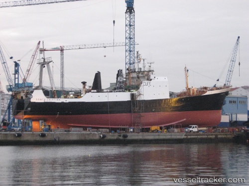
Vessel Santa Cristina IMO: 6608309, MMSI: 263531000 General Cargo Ship
UTC, 40.64619, -8.69789, course: -1, speed: 0
UTC, 40.64619, -8.69790, course: -1, speed: 0
2026-01-28 09:44:09 UTC, 40.64619, -8.69788, course: -1, speed: 0
Live AIS position:
UTC. Near Gafanha da Nazaré),
updated 2026-01-28 09:44:09 UTC.
Find the position of the vessel Santa Cristina on the map. The latter are known coordinates and path.
marine traffic ship tracker show on live map
The current position of vessel Santa Cristina is 40.64619 lat / -8.69788 lng. Updated: 2026-01-28 09:44:09 UTCDetails:
Last coordinates of the vessel:
UTC, 40.64619, -8.69793, course: 353, speed: 0UTC, 40.64619, -8.69789, course: -1, speed: 0
UTC, 40.64619, -8.69790, course: -1, speed: 0
2026-01-28 09:44:09 UTC, 40.64619, -8.69788, course: -1, speed: 0