 vesseltracker.com
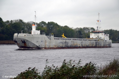
Vessel 'MANUEL DE OLIVEIRA' IMO: 7349390, MMSI: 263764000
UTC, 41.23360, 1.86892, course: 107, speed: 4.7
UTC, 41.22206, 1.90741, course: 111, speed: 6.2
2026-01-15 19:03:06 UTC, 41.25093, 2.08442, course: 66, speed: 6.1
Live AIS position:
UTC. Near Gavá),
updated 2026-01-15 19:03:06 UTC.
Find the position of the vessel 'MANUEL DE OLIVEIRA' on the map. The latter are known coordinates and path.
marine traffic ship tracker show on live map
The current position of vessel 'MANUEL DE OLIVEIRA' is 41.25093 lat / 2.08442 lng. Updated: 2026-01-15 19:03:06 UTCDetails:
Last coordinates of the vessel:
UTC, 41.23832, 1.86453, course: 51, speed: 0UTC, 41.23360, 1.86892, course: 107, speed: 4.7
UTC, 41.22206, 1.90741, course: 111, speed: 6.2
2026-01-15 19:03:06 UTC, 41.25093, 2.08442, course: 66, speed: 6.1