 vesseltracker.com
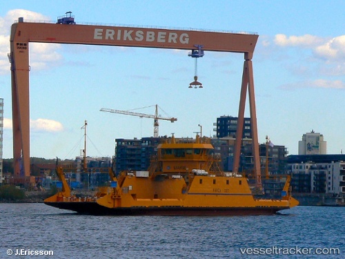
Vessel Marie IMO: 8612055, MMSI: 265522240 Passenger Ro Ro Cargo Ship
UTC, 57.69934, 11.66714, course: 244, speed: 0
UTC, 57.69936, 11.66712, course: 242, speed: 0
2026-03-17 03:52:31 UTC, 57.70356, 11.68708, course: 56, speed: 9.7
Live Vessel Marie Analytics (details, animations, etc.)
Live AIS position: UTC. Near OCKERO), updated 2026-03-17 03:52:31 UTC.Find the position of the vessel Marie on the map. The latter are known coordinates and path.
marine traffic ship tracker show on live map
The current position of vessel Marie is 57.70356 lat / 11.68708 lng. Updated: 2026-03-17 03:52:31 UTCCurrently sailing under the flag of Sweden
Details:
Last coordinates of the vessel:
UTC, 57.69931, 11.66715, course: 243, speed: 0UTC, 57.69934, 11.66714, course: 244, speed: 0
UTC, 57.69936, 11.66712, course: 242, speed: 0
2026-03-17 03:52:31 UTC, 57.70356, 11.68708, course: 56, speed: 9.7