 vesseltracker.com
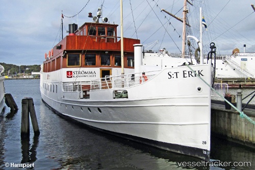
Find the position of the vessel St Erik on the map. The latter are known coordinates and path.
marine traffic ship tracker show on live map
The current position of vessel St Erik is 57.71213 lat / 11.96548 lng. Updated: 2025-11-17 05:47:17 UTCDetails:
Last coordinates of the vessel:
UTC, 57.71214, 11.96553, course: -1, speed: 0UTC, 57.71211, 11.96546, course: -1, speed: 0
UTC, 57.71209, 11.96556, course: -1, speed: 0
2025-11-17 05:47:17 UTC, 57.71213, 11.96548, course: -1, speed: 0