 vesseltracker.com
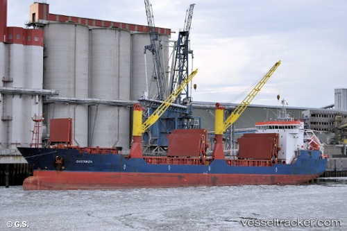
Vessel LADY SHAM IMO: 9171383, MMSI: 268251804 General Cargo
UTC, 45.57233, 13.70383, course: 124, speed: 0
UTC, 45.57117, 13.70433, course: 27, speed: 0.1
2026-02-28 09:26:26 UTC, 45.57146, 13.70584, course: 291, speed: 0.1
Live AIS position:
UTC. Near Koper),
updated 2026-02-28 09:26:26 UTC.
Find the position of the vessel LADY SHAM on the map. The latter are known coordinates and path.
marine traffic ship tracker show on live map
The current position of vessel LADY SHAM is 45.57146 lat / 13.70584 lng. Updated: 2026-02-28 09:26:26 UTCCurrently sailing under the flag of San Marino
Details:
Last coordinates of the vessel:
UTC, 45.57250, 13.70433, course: 154, speed: 0UTC, 45.57233, 13.70383, course: 124, speed: 0
UTC, 45.57117, 13.70433, course: 27, speed: 0.1
2026-02-28 09:26:26 UTC, 45.57146, 13.70584, course: 291, speed: 0.1