 vesseltracker.com
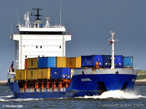
Vessel HELEN H IMO: 9139115, MMSI: 268253501 General Cargo
UTC, 45.56073, 13.67121, course: 135, speed: 0
UTC, 45.56092, 13.67210, course: 174, speed: 0
2026-03-03 05:44:02 UTC, 45.56085, 13.67139, course: 141, speed: 0
Live AIS position:
UTC. Near Koper),
updated 2026-03-03 05:44:02 UTC.
Find the position of the vessel HELEN H on the map. The latter are known coordinates and path.
marine traffic ship tracker show on live map
The current position of vessel HELEN H is 45.56085 lat / 13.67139 lng. Updated: 2026-03-03 05:44:02 UTCCurrently sailing under the flag of San Marino
Details:
Last coordinates of the vessel:
UTC, 45.56040, 13.67091, course: 103, speed: 0UTC, 45.56073, 13.67121, course: 135, speed: 0
UTC, 45.56092, 13.67210, course: 174, speed: 0
2026-03-03 05:44:02 UTC, 45.56085, 13.67139, course: 141, speed: 0