 vesseltracker.com
Find the position of the vessel Roza A on the map. The latter are known coordinates and path.
marine traffic ship tracker show on live map
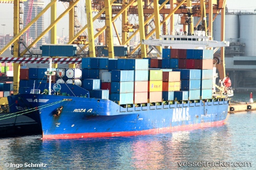
The current position of vessel Roza A is 37.9565 lat / 23.5854 lng. Updated: 2024-05-04 16:31:04 UTCCurrently sailing under the flag of Turkey
Roza A built in 1997 year
Port of registry:
İzmir (city in İzmir Province, Turkey)Deadweight:
19325 tGross tonnage:
15120Operator:
ARKAS Line (shipping company of Turkey)Service entry:
1997-01-01T00:00:00ZDetails:
Last coordinates of the vessel:
UTC, 37.9565, 23.5854, course: 347, speed: 0UTC, 37.9565, 23.5854, course: 346, speed: 0
UTC, 37.9565, 23.5854, course: 347, speed: 0
2024-05-04 16:31:04 UTC, 37.9565, 23.5854, course: 346, speed: 0