 vesseltracker.com
Find the position of the vessel Claire A on the map. The latter are known coordinates and path.
marine traffic ship tracker show on live map
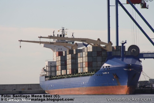
The current position of vessel Claire A is 40.9631 lat / 28.6723 lng. Updated: 2024-05-04 06:08:30 UTCCurrently sailing under the flag of Turkey
Claire A built in 2008 year
Port of registry:
İzmir (city in İzmir Province, Turkey)Deadweight:
22028 tGross tonnage:
17687Operator:
ARKAS Line (shipping company of Turkey)Service entry:
2008-01-01T00:00:00ZManufacturer:
Peene-Werft (German company)
Details:
Last coordinates of the vessel:
UTC, 40.9616, 28.6724, course: 354, speed: 0UTC, 40.9631, 28.6723, course: 355, speed: 0
UTC, 40.9616, 28.6724, course: 354, speed: 0
2024-05-04 06:08:30 UTC, 40.9631, 28.6723, course: 354, speed: 0