 vesseltracker.com
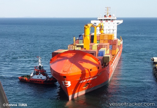
Vessel Gozde Bayraktar IMO: 9398632, MMSI: 271002732 Multi Purpose Carrier
UTC, 42.15386, 41.66435, course: -1, speed: 0
UTC, 42.15387, 41.66436, course: -1, speed: 0
2026-03-03 05:28:37 UTC, 42.15385, 41.66435, course: -1, speed: 0
Live AIS position:
UTC. Near Poti),
updated 2026-03-03 05:28:37 UTC.
Find the position of the vessel Gozde Bayraktar on the map. The latter are known coordinates and path.
marine traffic ship tracker show on live map
The current position of vessel Gozde Bayraktar is 42.15385 lat / 41.66435 lng. Updated: 2026-03-03 05:28:37 UTCCurrently sailing under the flag of Turkey
Gozde Bayraktar built in 2009 year
Deadweight:
22000 tDetails:
Last coordinates of the vessel:
UTC, 42.15426, 41.65716, course: -1, speed: 3.9UTC, 42.15386, 41.66435, course: -1, speed: 0
UTC, 42.15387, 41.66436, course: -1, speed: 0
2026-03-03 05:28:37 UTC, 42.15385, 41.66435, course: -1, speed: 0