 vesseltracker.com
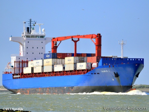
Find the position of the vessel Mehmet Kahveci A on the map. The latter are known coordinates and path.
marine traffic ship tracker show on live map
The current position of vessel Mehmet Kahveci A is 31.2365 lat / 29.7242 lng. Updated: 2024-05-02 19:52:57 UTCCurrently sailing under the flag of Turkey
Mehmet Kahveci A built in 2002 year
Port of registry:
İzmir (city in İzmir Province, Turkey)Deadweight:
18832 tPayload_mass:
18832 tonneGross tonnage:
14062Operator:
ARKAS Line (shipping company of Turkey)Service entry:
2002-01-01T00:00:00ZManufacturer:
Peene-Werft (German company)
Details:
Last coordinates of the vessel:
UTC, 31.2365, 29.7237, course: 357, speed: 0UTC, 31.2364, 29.724, course: 350, speed: 0
UTC, 31.2366, 29.724, course: 349, speed: 0
2024-05-02 19:52:57 UTC, 31.2365, 29.7242, course: 339, speed: 0