 vesseltracker.com
Live AIS position:
40.95726° N, 28.87870° E UTC. Near BAKIRKOY),
updated 2025-11-23 06:20:04 UTC.
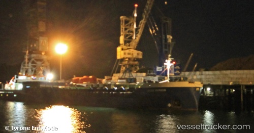
Find the position of the vessel Muhammet Gumustas 6 on the map. The latter are known coordinates and path.
marine traffic ship tracker show on live map
The current position of vessel Muhammet Gumustas 6 is 40.95726 lat / 28.87870 lng. Updated: 2025-11-23 06:20:04 UTCCurrently sailing under the flag of Turkey
Muhammet Gumustas 6 built in 1985 year
Deadweight:
3065 tDetails:
Last coordinates of the vessel:
UTC, 40.86817, 28.88987, course: 35, speed: 8.2UTC, 40.90855, 28.93530, course: 39, speed: 8.2
UTC, 40.95730, 28.87851, course: 155, speed: 0
2025-11-23 06:20:04 UTC, 40.95726, 28.87870, course: 169, speed: 0