 vesseltracker.com
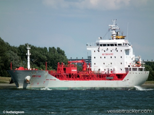
Vessel LETA IMO: 9510589, MMSI: 271049700 Chemical/Oil Products Tanker
UTC, 40.82659, 28.20634, course: 278, speed: 10
UTC, 40.74009, 27.54339, course: 247, speed: 9.8
2026-01-29 13:55:22 UTC, 40.62452, 27.24506, course: 241, speed: 10.6
Live AIS position:
UTC. Near Sarköy),
updated 2026-01-29 13:55:22 UTC.
Find the position of the vessel LETA on the map. The latter are known coordinates and path.
marine traffic ship tracker show on live map
The current position of vessel LETA is 40.62452 lat / 27.24506 lng. Updated: 2026-01-29 13:55:22 UTCCurrently sailing under the flag of Turkey
LETA built in 2009 year
Deadweight:
9152 tDetails:
Last coordinates of the vessel:
UTC, 40.76037, 28.37782, course: 276, speed: 10.3UTC, 40.82659, 28.20634, course: 278, speed: 10
UTC, 40.74009, 27.54339, course: 247, speed: 9.8
2026-01-29 13:55:22 UTC, 40.62452, 27.24506, course: 241, speed: 10.6