 vesseltracker.com
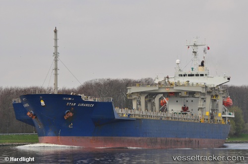
Find the position of the vessel SIMAS on the map. The latter are known coordinates and path.
marine traffic ship tracker show on live map
The current position of vessel SIMAS is -6.15469 lat / 39.192 lng. Updated: 2025-07-14 22:57:17 UTCCurrently sailing under the flag of Turkey
SIMAS built in 1991 year
Deadweight:
17012 tDetails:
Last coordinates of the vessel:
UTC, -6.15469, 39.1921, course: 186, speed: 0UTC, -6.15469, 39.1921, course: 186, speed: 0
UTC, -6.1547, 39.192, course: 186, speed: 0
2025-07-14 22:57:17 UTC, -6.15469, 39.192, course: 186, speed: 0
The ship also appears on the maps: