 vesseltracker.com
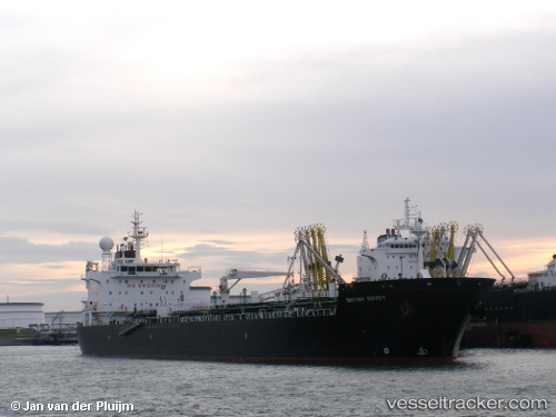
Vessel CAN KA IMO: 9312925, MMSI: 271049994 Chemical/Oil Products Tanker
UTC, 33.96388, 35.57014, course: 91, speed: 0.1
UTC, 33.96435, 35.57023, course: 109, speed: 0
2026-01-19 23:41:02 UTC, 33.96408, 35.57012, course: 99, speed: 0
Live AIS position:
UTC. Near Ad Dubayyah),
updated 2026-01-19 23:41:02 UTC.
Find the position of the vessel CAN KA on the map. The latter are known coordinates and path.
marine traffic ship tracker show on live map
The current position of vessel CAN KA is 33.96408 lat / 35.57012 lng. Updated: 2026-01-19 23:41:02 UTCCurrently sailing under the flag of Turkey
CAN KA built in 2006 year
Deadweight:
37582 tDetails:
Last coordinates of the vessel:
UTC, 33.96330, 35.57034, course: 69, speed: 0UTC, 33.96388, 35.57014, course: 91, speed: 0.1
UTC, 33.96435, 35.57023, course: 109, speed: 0
2026-01-19 23:41:02 UTC, 33.96408, 35.57012, course: 99, speed: 0