 vesseltracker.com
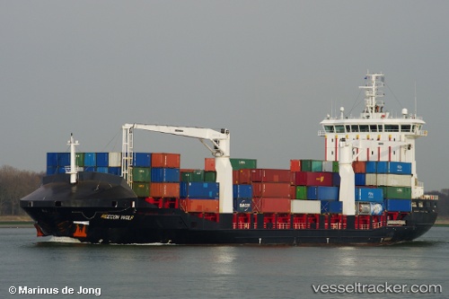
Vessel DIONYSSIS A IMO: 9356660, MMSI: 271050526 Container Ship
UTC, 40.96171, 28.67258, course: 358, speed: 0
UTC, 40.96173, 28.67257, course: 358, speed: 0
2026-02-19 03:43:48 UTC, 40.96173, 28.67256, course: 358, speed: 0
Live AIS position:
UTC. Near Ambarli),
updated 2026-02-19 03:43:48 UTC.
Find the position of the vessel DIONYSSIS A on the map. The latter are known coordinates and path.
marine traffic ship tracker show on live map
The current position of vessel DIONYSSIS A is 40.96173 lat / 28.67256 lng. Updated: 2026-02-19 03:43:48 UTCCurrently sailing under the flag of Turkey
DIONYSSIS A built in 2008 year
Deadweight:
12296 tDetails:
Last coordinates of the vessel:
UTC, 40.96171, 28.67254, course: 358, speed: 0UTC, 40.96171, 28.67258, course: 358, speed: 0
UTC, 40.96173, 28.67257, course: 358, speed: 0
2026-02-19 03:43:48 UTC, 40.96173, 28.67256, course: 358, speed: 0