 vesseltracker.com
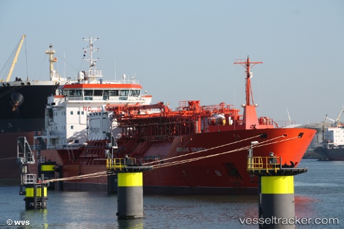
Find the position of the vessel ORINDA on the map. The latter are known coordinates and path.
marine traffic ship tracker show on live map
The current position of vessel ORINDA is 32.65954 lat / 30.78945 lng. Updated: 2025-10-12 01:06:13 UTCCurrently sailing under the flag of Turkey
ORINDA built in 2002 year
Deadweight:
9352 tDetails:
Last coordinates of the vessel:
UTC, 32.19904, 31.25239, course: 323, speed: 11.1UTC, 32.26090, 31.19794, course: 321, speed: 11.1
UTC, 32.53954, 30.90372, course: 318, speed: 11.2
2025-10-12 01:06:13 UTC, 32.65954, 30.78945, course: 319, speed: 11.1