 vesseltracker.com
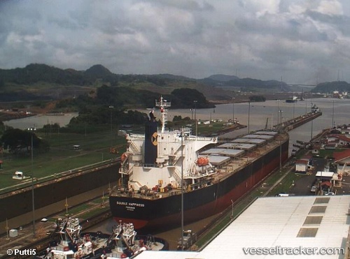
Vessel DENAK D IMO: 9336036, MMSI: 271052065 Bulk Carrier
UTC, 40.68383, -74.07363, course: 132, speed: 0
UTC, 40.68386, -74.07365, course: 132, speed: 0
2026-02-26 23:54:32 UTC, 40.68383, -74.07366, course: 132, speed: 0
Live AIS position:
UTC. Near Port Newark),
updated 2026-02-26 23:54:32 UTC.
Find the position of the vessel DENAK D on the map. The latter are known coordinates and path.
marine traffic ship tracker show on live map
The current position of vessel DENAK D is 40.68383 lat / -74.07366 lng. Updated: 2026-02-26 23:54:32 UTCCurrently sailing under the flag of Turkey
Details:
Last coordinates of the vessel:
UTC, 40.68385, -74.07367, course: 132, speed: 0UTC, 40.68383, -74.07363, course: 132, speed: 0
UTC, 40.68386, -74.07365, course: 132, speed: 0
2026-02-26 23:54:32 UTC, 40.68383, -74.07366, course: 132, speed: 0