 vesseltracker.com
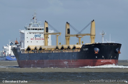
Vessel THEO G IMO: 9415246, MMSI: 271053634 Bulk Carrier
UTC, 35.95667, -0.29167, course: -1, speed: 2
UTC, 35.97358, -0.17489, course: -1, speed: 6.1
2026-03-04 06:04:59 UTC, 36.02500, -0.10333, course: -1, speed: 1
Live AIS position:
UTC. 10 nm NW of Mostaganem),
updated 2026-03-04 06:04:59 UTC.
Find the position of the vessel THEO G on the map. The latter are known coordinates and path.
marine traffic ship tracker show on live map
The current position of vessel THEO G is 36.02500 lat / -0.10333 lng. Updated: 2026-03-04 06:04:59 UTCCurrently sailing under the flag of Turkey
Details:
Last coordinates of the vessel:
UTC, 35.93667, -0.28833, course: -1, speed: 3UTC, 35.95667, -0.29167, course: -1, speed: 2
UTC, 35.97358, -0.17489, course: -1, speed: 6.1
2026-03-04 06:04:59 UTC, 36.02500, -0.10333, course: -1, speed: 1