 vesseltracker.com
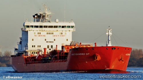
Vessel CHEM NANA IMO: 9384162, MMSI: 271053982 Oil/Chemical Tanker
UTC, 36.40889, 28.67149, course: 108, speed: 11.6
UTC, 36.20167, 29.10833, course: -1, speed: 10
2026-02-25 22:09:33 UTC, 35.99482, 29.89634, course: -1, speed: 9.8
Live AIS position:
UTC. 17 nm SE of Kastellorizou (ex Megísti)),
updated 2026-02-25 22:09:33 UTC.
Find the position of the vessel CHEM NANA on the map. The latter are known coordinates and path.
marine traffic ship tracker show on live map
The current position of vessel CHEM NANA is 35.99482 lat / 29.89634 lng. Updated: 2026-02-25 22:09:33 UTCCurrently sailing under the flag of Turkey
Details:
Last coordinates of the vessel:
UTC, 36.49864, 28.35653, course: 107, speed: 11.3UTC, 36.40889, 28.67149, course: 108, speed: 11.6
UTC, 36.20167, 29.10833, course: -1, speed: 10
2026-02-25 22:09:33 UTC, 35.99482, 29.89634, course: -1, speed: 9.8