 vesseltracker.com
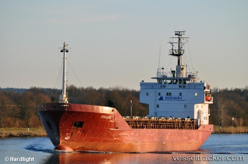
Vessel Amira IMO: 8003943, MMSI: 271055026 Multi Purpose Carrier
UTC, 36.87833, 36.01333, course: -1, speed: 0
UTC, 36.87890, 36.01518, course: -1, speed: 0.4
2026-02-12 01:14:36 UTC, 36.87895, 36.01493, course: -1, speed: 0.1
Live AIS position:
UTC. Near TOROS),
updated 2026-02-12 01:14:36 UTC.
Find the position of the vessel Amira on the map. The latter are known coordinates and path.
marine traffic ship tracker show on live map
The current position of vessel Amira is 36.87895 lat / 36.01493 lng. Updated: 2026-02-12 01:14:36 UTCCurrently sailing under the flag of Turkey
Amira built in 1981 year
Deadweight:
2574 tDetails:
Last coordinates of the vessel:
UTC, 36.87892, 36.01539, course: -1, speed: 0.4UTC, 36.87833, 36.01333, course: -1, speed: 0
UTC, 36.87890, 36.01518, course: -1, speed: 0.4
2026-02-12 01:14:36 UTC, 36.87895, 36.01493, course: -1, speed: 0.1