 vesseltracker.com
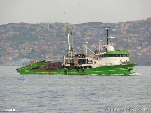
Find the position of the vessel Cinar Ibrahim on the map. The latter are known coordinates and path.
marine traffic ship tracker show on live map
The current position of vessel Cinar Ibrahim is 39.8439 lat / 26.1029 lng. Updated: 2025-03-10 22:08:51 UTCCurrently sailing under the flag of Turkey
Gross tonnage:
623Service entry:
2001-01-01T00:00:00ZDetails:
Last coordinates of the vessel:
UTC, 39.8439, 26.1029, course: -1, speed: 8.5UTC, 39.8439, 26.1029, course: -1, speed: 8.5
UTC, 39.8439, 26.1029, course: -1, speed: 8.5
2025-03-10 22:08:51 UTC, 39.8439, 26.1029, course: -1, speed: 8.5