 vesseltracker.com
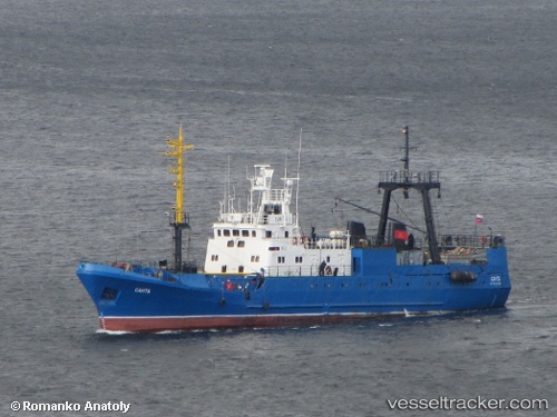
Vessel Santa IMO: 8721791, MMSI: 273211800 Fishing Vessel
Live AIS position:
UTC. Near Murmansk),
updated 2026-02-15 08:09:26 UTC.
Find the position of the vessel Santa on the map. The latter are known coordinates and path.
marine traffic ship tracker show on live map
The current position of vessel Santa is 68.94795 lat / 33.02938 lng. Updated: 2026-02-15 08:09:26 UTCDetails:
Last coordinates of the vessel:
2026-02-15 08:09:26 UTC, 68.94795, 33.02938, course: -1, speed: 0