 vesseltracker.com
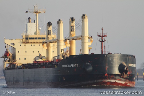
Vessel ENISEY IMO: 9079169, MMSI: 273212240 Bulk Carrier
UTC, 45.30942, 36.47609, course: 255, speed: 52.4
UTC, 45.30408, 36.45391, course: 253, speed: 8.2
2026-02-19 19:34:09 UTC, 45.24099, 36.52836, course: 238, speed: 7.5
Live AIS position:
UTC. Near KOMYSH BURUNSKA),
updated 2026-02-19 19:34:09 UTC.
Find the position of the vessel ENISEY on the map. The latter are known coordinates and path.
marine traffic ship tracker show on live map
The current position of vessel ENISEY is 45.24099 lat / 36.52836 lng. Updated: 2026-02-19 19:34:09 UTCCurrently sailing under the flag of Russia
ENISEY built in 1995 year
Deadweight:
43706 tDetails:
Last coordinates of the vessel:
UTC, 45.11636, 37.02226, course: 258, speed: 52.5UTC, 45.30942, 36.47609, course: 255, speed: 52.4
UTC, 45.30408, 36.45391, course: 253, speed: 8.2
2026-02-19 19:34:09 UTC, 45.24099, 36.52836, course: 238, speed: 7.5