 vesseltracker.com
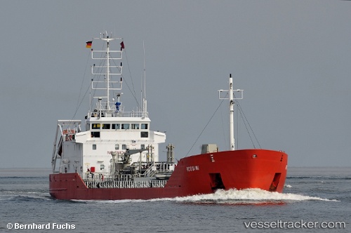
Find the position of the vessel G Rossini on the map. The latter are known coordinates and path.
marine traffic ship tracker show on live map
The current position of vessel G Rossini is 59.8819 lat / 30.2236 lng. Updated: 2024-05-01 15:13:02 UTCCurrently sailing under the flag of Russia
Port of registry:
Limassol (city in the Limassol District, Cyprus)Speed:
13 knotGross tonnage:
2195Service entry:
1998-01-01T00:00:00ZManufacturer:
Damen Shipyards Hardinxveld (shipyard in Hardinxveld, Netherlands)Details:
Last coordinates of the vessel:
UTC, 60.0167, 29.5446, course: 109, speed: 11.6UTC, 59.9517, 29.8505, course: 111, speed: 6.2
UTC, 59.9517, 29.8505, course: 111, speed: 6.2
2024-05-01 15:13:02 UTC, 59.8819, 30.2236, course: 169, speed: 1.2