 vesseltracker.com
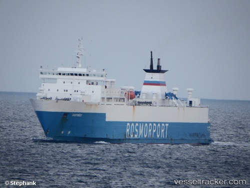
Vessel Baltiysk IMO: 8318130, MMSI: 273317640 Ro Ro Cargo Ship
UTC, 59.80207, 24.59613, course: 255, speed: 10.7
UTC, 59.70313, 23.87561, course: 253, speed: 10.8
2026-02-10 01:54:53 UTC, 59.61174, 23.24890, course: 254, speed: 10.7
Live AIS position:
UTC. 13 nm S of Tvärminne),
updated 2026-02-10 01:54:53 UTC.
Find the position of the vessel Baltiysk on the map. The latter are known coordinates and path.
marine traffic ship tracker show on live map
The current position of vessel Baltiysk is 59.61174 lat / 23.24890 lng. Updated: 2026-02-10 01:54:53 UTCCurrently sailing under the flag of Russia
Baltiysk built in 1984 year
Deadweight:
9985 tDetails:
Last coordinates of the vessel:
UTC, 59.88376, 25.39347, course: 261, speed: 10.5UTC, 59.80207, 24.59613, course: 255, speed: 10.7
UTC, 59.70313, 23.87561, course: 253, speed: 10.8
2026-02-10 01:54:53 UTC, 59.61174, 23.24890, course: 254, speed: 10.7