 vesseltracker.com
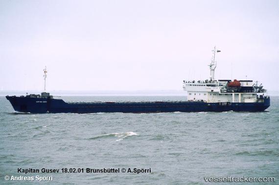
Vessel Novocherkassk IMO: 9083328, MMSI: 273384210 Multi Purpose Carrier
UTC, 45.50023, 36.80213, course: -1, speed: 0
UTC, 45.50002, 36.80187, course: -1, speed: 0
2026-02-12 15:48:05 UTC, 45.50002, 36.80187, course: -1, speed: 0
Live AIS position:
UTC. Near Kavkaz),
updated 2026-02-12 15:48:05 UTC.
Find the position of the vessel Novocherkassk on the map. The latter are known coordinates and path.
marine traffic ship tracker show on live map
The current position of vessel Novocherkassk is 45.50002 lat / 36.80187 lng. Updated: 2026-02-12 15:48:05 UTCDetails:
Last coordinates of the vessel:
UTC, 45.50031, 36.80227, course: -1, speed: 0UTC, 45.50023, 36.80213, course: -1, speed: 0
UTC, 45.50002, 36.80187, course: -1, speed: 0
2026-02-12 15:48:05 UTC, 45.50002, 36.80187, course: -1, speed: 0