 vesseltracker.com
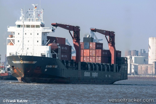
Vessel SPARTA II IMO: 9160994, MMSI: 273394890 Ro-Ro Cargo
UTC, 54.69632, 20.45000, course: 301, speed: 0
UTC, 54.69631, 20.44995, course: 301, speed: 0.2
UTC, 54.69629, 20.44994, course: 301, speed: 0
UTC, 54.69629, 20.44994, course: 301, speed: 0
2026-02-24 12:17:32 UTC, 54.69629, 20.44994, course: 301, speed: 0
Live AIS position:
UTC. Near Kaliningrad),
updated 2026-02-24 12:17:32 UTC.
Find the position of the vessel SPARTA II on the map. The latter are known coordinates and path.
marine traffic ship tracker show on live map
The current position of vessel SPARTA II is 54.69629 lat / 20.44994 lng. Updated: 2026-02-24 12:17:32 UTCCurrently sailing under the flag of Russia
SPARTA II built in 2000 year
Deadweight:
7450 tDetails:
Last coordinates of the vessel:
UTC, 54.69630, 20.44998, course: 301, speed: 0UTC, 54.69632, 20.45000, course: 301, speed: 0
UTC, 54.69631, 20.44995, course: 301, speed: 0.2
UTC, 54.69629, 20.44994, course: 301, speed: 0
UTC, 54.69629, 20.44994, course: 301, speed: 0
2026-02-24 12:17:32 UTC, 54.69629, 20.44994, course: 301, speed: 0