 vesseltracker.com
Find the position of the vessel Tsaritsa on the map. The latter are known coordinates and path.
marine traffic ship tracker show on live map
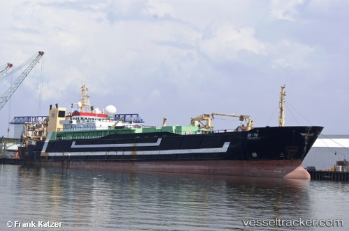
The current position of vessel Tsaritsa is 42.7912 lat / 132.883 lng. Updated: 2025-04-18 13:44:11 UTCCurrently sailing under the flag of Russia
Tsaritsa built in 1988 year
Port of registry:
Nakhodka (town in Primorsky Krai, Russia)Deadweight:
3250 tGross tonnage:
7646Service entry:
1988-01-01T00:00:00ZManufacturer:
Schichau Seebeckwerft (German shipbuilding company (1950-2009))
Details:
Last coordinates of the vessel:
UTC, 42.7912, 132.883, course: 224, speed: 0UTC, 42.7912, 132.883, course: 224, speed: 0
UTC, 42.7912, 132.883, course: 225, speed: 0
2025-04-18 13:44:11 UTC, 42.7912, 132.883, course: 225, speed: 0
Track of the vessel in the last 14 days
The ship also appears on the maps: