 vesseltracker.com
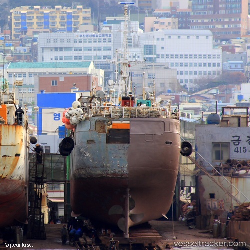
Vessel Suntar IMO: 8810504, MMSI: 273430790 Fishing Vessel
UTC, 68.96128, 33.05087, course: 108, speed: 0
UTC, 68.96128, 33.05087, course: 108, speed: 0
2026-03-13 06:46:26 UTC, 68.96128, 33.05087, course: 108, speed: 0
Live Vessel Suntar Analytics (details, animations, etc.)
Live AIS position: UTC. Near Murmansk), updated 2026-03-13 06:46:26 UTC.Find the position of the vessel Suntar on the map. The latter are known coordinates and path.
marine traffic ship tracker show on live map
The current position of vessel Suntar is 68.96128 lat / 33.05087 lng. Updated: 2026-03-13 06:46:26 UTCDetails:
Last coordinates of the vessel:
UTC, 68.96130, 33.05088, course: 108, speed: 0UTC, 68.96128, 33.05087, course: 108, speed: 0
UTC, 68.96128, 33.05087, course: 108, speed: 0
2026-03-13 06:46:26 UTC, 68.96128, 33.05087, course: 108, speed: 0