 vesseltracker.com
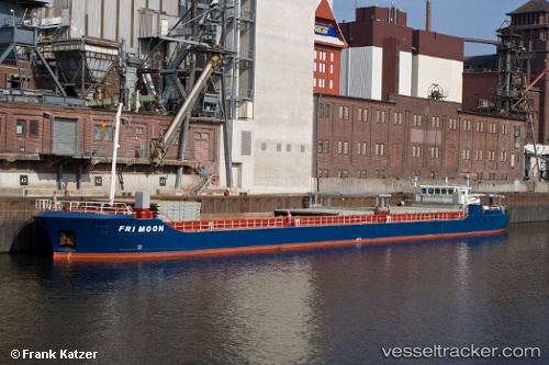
Vessel Moonray IMO: 9234410, MMSI: 275488000 General Cargo Ship
UTC, 45.33500, 4.78667, course: -1, speed: 0
UTC, 45.33500, 4.78667, course: -1, speed: 0
2026-02-27 23:09:09 UTC, 45.33500, 4.78667, course: -1, speed: 0
Live AIS position:
UTC. Near Limony),
updated 2026-02-27 23:09:09 UTC.
Find the position of the vessel Moonray on the map. The latter are known coordinates and path.
marine traffic ship tracker show on live map
The current position of vessel Moonray is 45.33500 lat / 4.78667 lng. Updated: 2026-02-27 23:09:09 UTCCurrently sailing under the flag of Latvia
Moonray built in 2001 year
Deadweight:
2300 tDetails:
Last coordinates of the vessel:
UTC, 45.33500, 4.78667, course: -1, speed: 0UTC, 45.33500, 4.78667, course: -1, speed: 0
UTC, 45.33500, 4.78667, course: -1, speed: 0
2026-02-27 23:09:09 UTC, 45.33500, 4.78667, course: -1, speed: 0