 vesseltracker.com
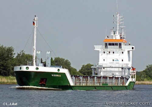
Vessel LOTTALAND IMO: 9155975, MMSI: 275504000 General Cargo Ship
UTC, 55.69597, 15.35143, course: 239, speed: 10.8
UTC, 55.51143, 14.78321, course: 237, speed: 11.2
2026-03-11 15:50:07 UTC, 55.29297, 14.36030, course: 217, speed: 10.4
Live Vessel LOTTALAND Analytics (details, animations, etc.)
Live AIS position: UTC. 12 nm SE of Borrby), updated 2026-03-11 15:50:07 UTC.Find the position of the vessel LOTTALAND on the map. The latter are known coordinates and path.
marine traffic ship tracker show on live map
The current position of vessel LOTTALAND is 55.29297 lat / 14.36030 lng. Updated: 2026-03-11 15:50:07 UTCCurrently sailing under the flag of Latvia
LOTTALAND built in 1997 year
Deadweight:
4156 tDetails:
Last coordinates of the vessel:
UTC, 55.84502, 15.80045, course: 238, speed: 10.3UTC, 55.69597, 15.35143, course: 239, speed: 10.8
UTC, 55.51143, 14.78321, course: 237, speed: 11.2
2026-03-11 15:50:07 UTC, 55.29297, 14.36030, course: 217, speed: 10.4