 vesseltracker.com
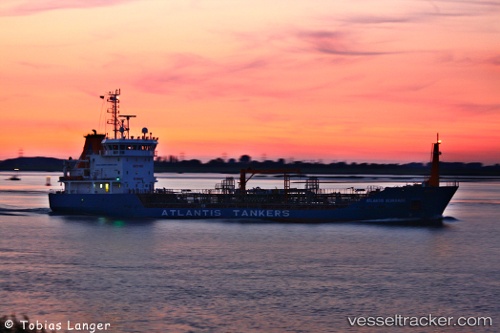
Vessel ATLANTIS IMO: 9268174, MMSI: 276869000 Chemical Oil Products Tanker
UTC, 54.66593, 12.29612, course: 208, speed: 10.5
UTC, 54.36285, 12.09346, course: 205, speed: 9.3
2026-02-03 20:15:20 UTC, 54.15949, 12.12149, course: 104, speed: 4.1
Live AIS position:
UTC. Near Warnemunde),
updated 2026-02-03 20:15:20 UTC.
Find the position of the vessel ATLANTIS on the map. The latter are known coordinates and path.
marine traffic ship tracker show on live map
The current position of vessel ATLANTIS is 54.15949 lat / 12.12149 lng. Updated: 2026-02-03 20:15:20 UTCCurrently sailing under the flag of Estonia
ATLANTIS built in 2004 year
Deadweight:
3502 tDetails:
Last coordinates of the vessel:
UTC, 54.98440, 12.62424, course: 174, speed: 8.1UTC, 54.66593, 12.29612, course: 208, speed: 10.5
UTC, 54.36285, 12.09346, course: 205, speed: 9.3
2026-02-03 20:15:20 UTC, 54.15949, 12.12149, course: 104, speed: 4.1