 vesseltracker.com
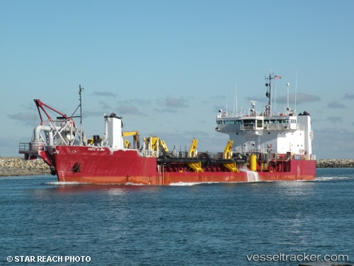
Vessel Dodge Island IMO: 7917800, MMSI: 303589000 Hopper Dredger
UTC, 28.92787, -95.28877, course: 135, speed: 1.7
UTC, 28.92471, -95.28437, course: 324, speed: 2
2026-01-13 21:33:22 UTC, 28.92779, -95.28702, course: 322, speed: 1.8
Live AIS position:
UTC. Near Quintana),
updated 2026-01-13 21:33:22 UTC.
Find the position of the vessel Dodge Island on the map. The latter are known coordinates and path.
marine traffic ship tracker show on live map
The current position of vessel Dodge Island is 28.92779 lat / -95.28702 lng. Updated: 2026-01-13 21:33:22 UTCDetails:
Last coordinates of the vessel:
UTC, 28.85410, -95.25457, course: 349, speed: 6.8UTC, 28.92787, -95.28877, course: 135, speed: 1.7
UTC, 28.92471, -95.28437, course: 324, speed: 2
2026-01-13 21:33:22 UTC, 28.92779, -95.28702, course: 322, speed: 1.8