 vesseltracker.com
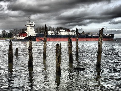
Vessel Gulf Reliance IMO: 9398474, MMSI: 303668000 Pusher Tug
UTC, 28.52833, -85.56833, course: -1, speed: 12
UTC, 28.71167, -86.07000, course: -1, speed: 11
2026-01-30 14:12:44 UTC, 28.89667, -86.57667, course: -1, speed: 11
Live AIS position:
UTC. 86 nm SW of Port Saint Joe),
updated 2026-01-30 14:12:44 UTC.
Find the position of the vessel Gulf Reliance on the map. The latter are known coordinates and path.
marine traffic ship tracker show on live map
The current position of vessel Gulf Reliance is 28.89667 lat / -86.57667 lng. Updated: 2026-01-30 14:12:44 UTCCurrently sailing under the flag of USA
Gulf Reliance built in 2006 year
Deadweight:
835 tDetails:
Last coordinates of the vessel:
UTC, 28.43333, -85.31500, course: -1, speed: 11UTC, 28.52833, -85.56833, course: -1, speed: 12
UTC, 28.71167, -86.07000, course: -1, speed: 11
2026-01-30 14:12:44 UTC, 28.89667, -86.57667, course: -1, speed: 11